Trinity F90+ VTOL
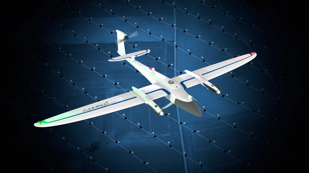
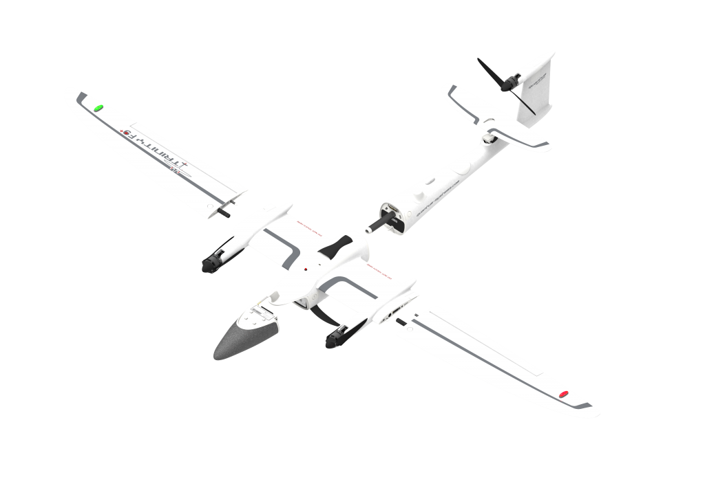
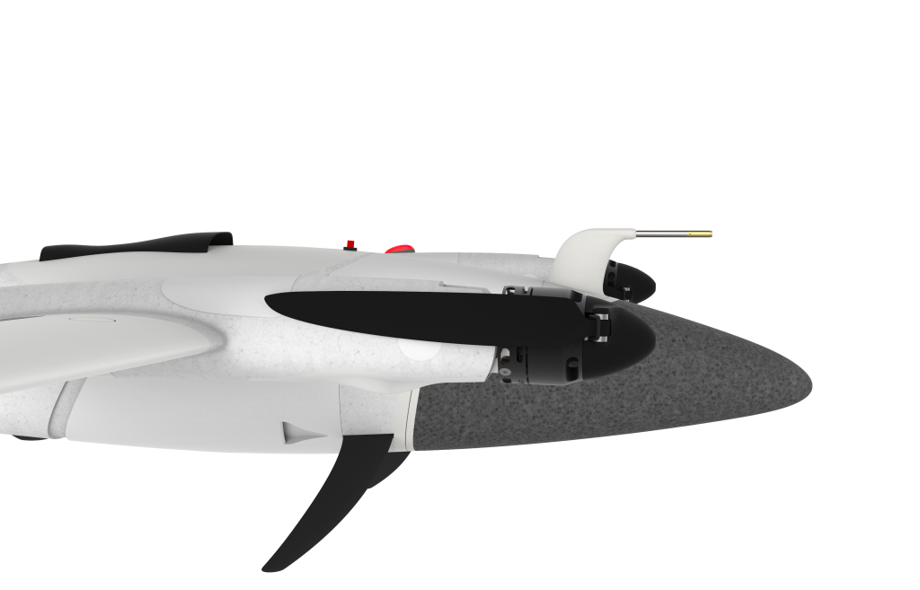
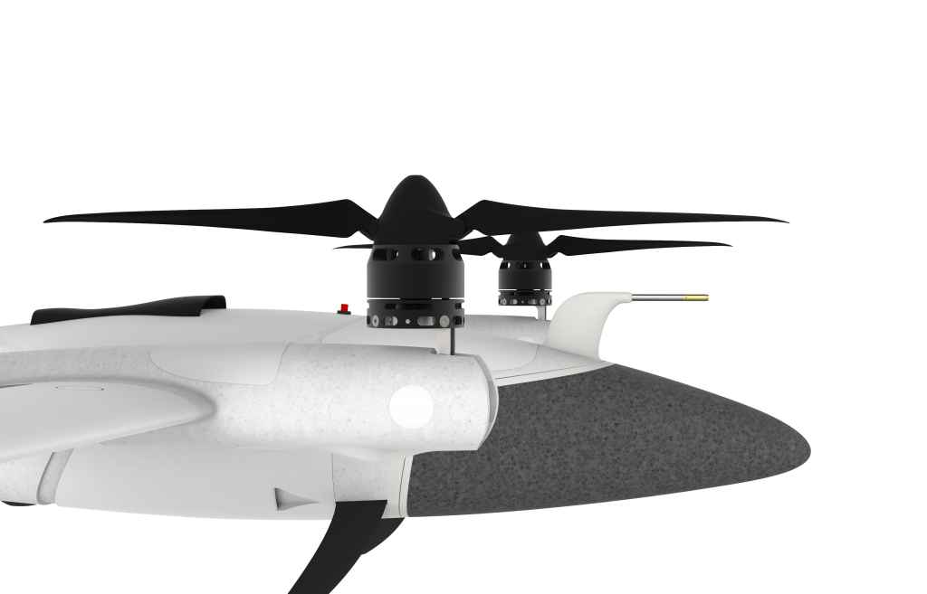
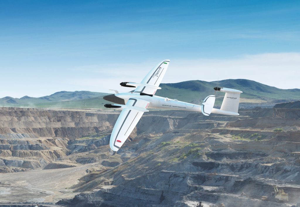
Trinity F90+ is an Unmanned Aerial Vehicle (UAV), which combines the possibility of hovering like a multi-rotor (MR) with long range flights like typical fixed wing UAVs (A). During vertical take-off and landing (eVTOL- electric Vertical Take Off and Landing), three engines are directed upwards and during the flight tilted forward. Forward flight thrust is generated by the tail’s rear engine, while the two front engines are turned off, which provides great battery savings. Depending on the camera integrated with Trinity F90 +, this model is suitable for a wide range of applications in geodesy, photogrammetry, forestry, agriculture, spatial planning, crisis management and others. The Trinity body is made of Elapor® material and formed around a rigid structure made of carbon fiber.
KEY FEATURES OF TRINITY F90+:
- eVTOL (Vertical Take-Off and Landing) – Trinity F90+ is able to start and land vertically, making a smooth transition from horizontal to a vertical flight.
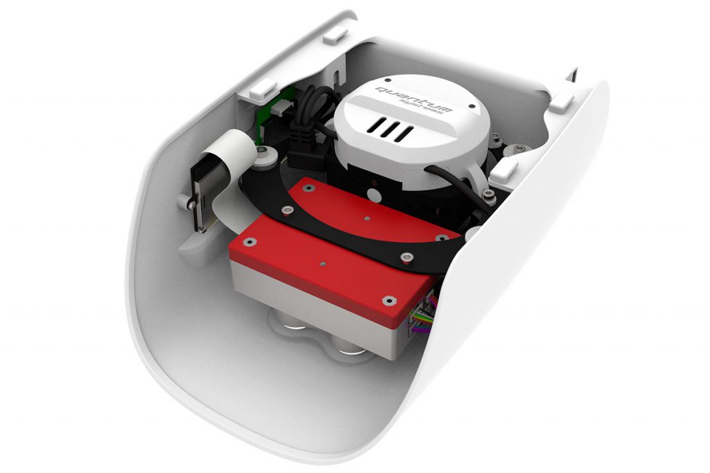
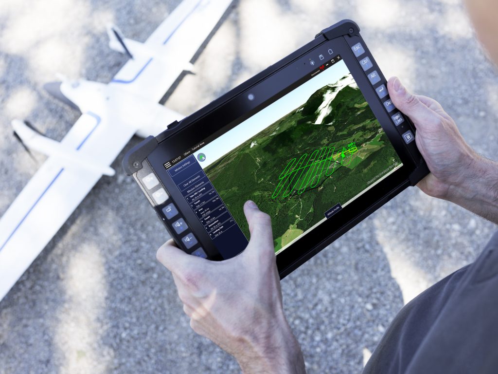
- PPK (Post-Processed Kinematic) using the Quantum-PPK iBase base station – allows to reduce GNSS geotagging errors of the images to about 2-5cm, by collecting raw observational data by the local iBase station and during flight on board of F90+ UAV. This solution provides greater accuracy of data processing while reducing additional costs. In post-processing, so-called forward and backward processing is possible, which increases positioning accuracy. Thanks to QBase mission planning software, an easy and direct process of applying PPK to data collected during the mission, was created. The user interface allows the selection of different reference data sources for PPK to optimize the results
EXTENSION TO PPK
Ground reference station – iBase
Reference station iBase is an entry level GNSS reference station when performing the VTOL flight missions. It automatically logs GNSS reference measurements on the ground to a file on a micro SD card. This file enables to do PPK processing of the collected survey data with an absolute accuracy of 2 – 5 cm. The PPK of the flight data is done in QBase3D software.
Post-Processed Kinematic (PPK) is an alternative technique to a Real-Time Kinematic (RTK) method of precise data acquisition. PPK and RTK allow user to cancel most of GNSS errors via processing data from two receivers that are close enough to each other. In case of PPK, the positioning of the projected image center does not occur in real time (RTK), but all algorithms that remove measurement errors are used later – in post-processing. Raw GNSS observation logs are recorded both on the ground and on UAV. Later they are processed to obtain the exact flight path. The position of the iBase station must be determined precisely e.g. using the ASG-EUPOS network.
Although PPK is mainly used in UAV flights, it can also be used as a backup for RTK in any surveying task. The PPK solution offers a more flexible work model, enabling multiple launches of GNSS data processing using various settings. It also does not require a radio connection to send corrections between the base station and UAV, which simplifies the entire equipment configuration.
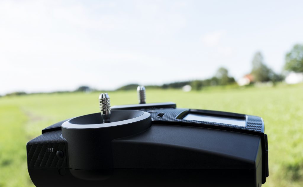
You get everything from us at one price: UAV + RC + GNSS base station (iBase) + mission planning and differential correction software in PPK mode (QBase 3D) + radio modem
iBase is a solution that serves as a “personal” GNSS reference station in the absence of access to correction network services (e.g. ASG-EUPOS). The station automatically saves observations to files on a microSD card located in the casing. Post-processing of PPK data saved during the flight takes place in the QBase3D software environment, which allows achieving mutual orientation accuracy of 2-5cm (relative to the iBase antenna coordinates).
Live-Air-Traffic – the ability to automatically integrate the Live-Air-Traffic-Info system with QBase after connecting the pingUSB key. This device is the smallest, lightest and cheapest dual-range USB ADS-B receiver available on the market. PingUSB provides high-quality tracking data supported by software such as Virtual Radar Server and services, including ADS-B Exchange. During the flight you will see the movement of aircraft around your UAV’s position.
Anti-collision strobe lights (ACSL) – Trinity F90+ has an integrated anti-collision and position lights mounted on the magnetic tapes.
Technical specification of Trinity F90+

Max. Take-off Weight:
5 kg

Max. Flight Time: 90+ min

Max. Range (Area):
700 ha (AGL=100 m)

Command and Control Range:
do 7,5 km

Payload (with compartment): 700 g

Optimal Cruise Speed: 17 m/s

Wind Tolerance
(ground wind): (wiatr na gruncie):
7 m/s

Wind Tolerance
(in cruise flight):
12 m/s

Wingspan: 2,39 m

Transport Case Dimension:
100 cm x 83 cm x 27 cm
TRINITY F90+ ASSEMBLING PROCESS
The mechanism of connecting Trinity elements (TLM) allows the operator to prepare the entire system in just a few dozen seconds. No special tools or advanced engineering knowledge are required for this!
Just a CLICK and the drone is assembled in a few seconds!
TRINITY F90+ EFFICIENCY BY DESIGN
The three-rotor configuration allows the Trinity F90 + to achieve excellent electric VTOL capabilities and highly efficient long-range flight. The perfect weight balance keeps the rear rotor in the ideal thrust-to-size ratio in both VTOL and forward flight modes. After reaching the targeted above the ground level height of flight (AGL), two engines on the wings are switched off and only one rear engine works on the vertical rudder.
In short: Trinity F90+ due to its great aerodynamics consumes much less energy and achieves a longer flight time (90 min.), which are a unique values for professional BSP.
TRINITYF90+ PACKAGE INCLUDES:
- Trinity F90+ UAV
- QBase 3D – mission planning software (Win 10 64Bit)
- PPK
- Anti-Collision-Lights
- Remote Controller (RC)
- Live-Air-Traffic (ADS-B System via ping USB)
- iBase – a reference GNSS station, with battery and a charger
- Lightweight Transport Case
- Warranty (1 year)
- Technical Support
